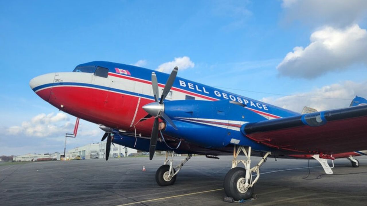
Using aircraft fitted with technology able to measure the properties of rocks underground, Lithium de France will enrich its geological data and deepen its knowledge of the subsurface in northern Alsace. The data collected will complement existing data acquired during earlier 3D exploration campaigns.
More than 750 km² explored in northern Alsace since 2022
Since 2022, the teams of the Lithium de France project, deployed by Arverne, have been running large-scale exploration programmes drawing on leading technical and scientific expertise.
Detailed knowledge of the subsurface is an essential step for any heat and geothermal lithium production project. With more than 750 km² already explored and more than €12 million invested, the company stands as the only French operator to have explored such a large area.
Two complementary measurement methods from the air
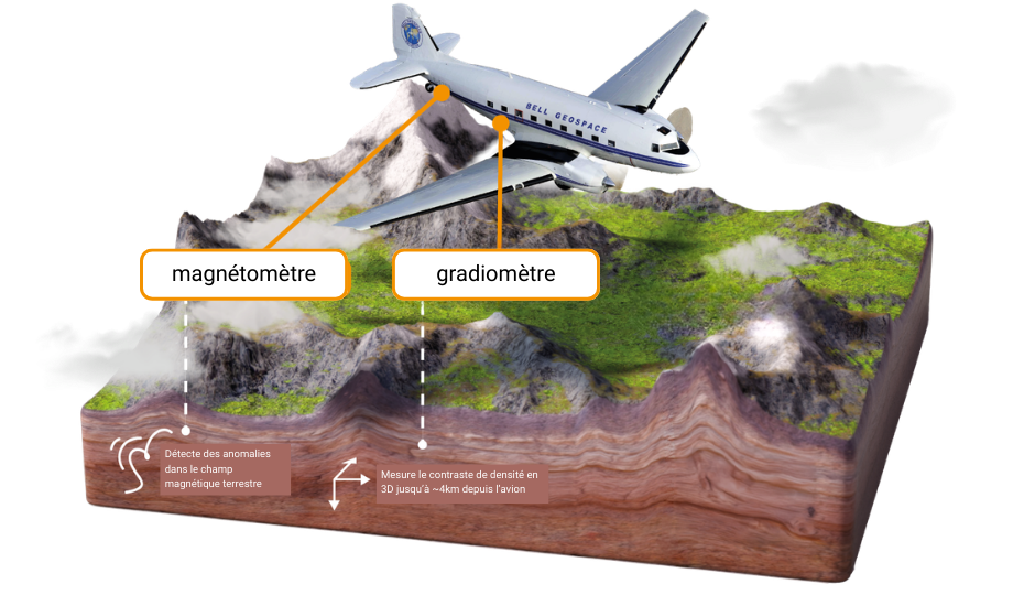
This new campaign relies on advanced technologies that measure geological properties invisible to the naked eye. Two complementary methods are used, explains Pierre-Henri Roche, geophysicist engineer at Lithium de France: “ First gravity gradiometry, which detects variations in rock density: the instruments used measure tiny variations, in three dimensions, in the Earth’s gravitational field caused by differences in density between rock types. Second, magnetometry, which analyses variations in the Earth’s magnetic field linked to the nature of the rocks. Some rocks retain a magnetization acquired when they formed, which makes it possible to identify major geological families. ».
A 3D map of the subsurface to refine geological models
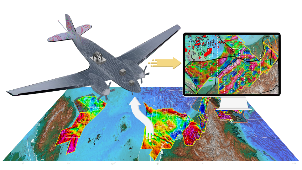
Combining these data will produce a 3D map of the subsurface, a true “ultrasound of the subsurface” and an essential tool to refine geological models and better characterize heat and geothermal lithium resources. “ They add to the many analyses carried out by Lithium de France experts over the past four years, ” concludes Pierre-Henri Roche.
Data that will enter the public domain
Beyond Lithium de France’s own needs, the data acquired will add to collective knowledge of the Alsace subsurface. They will enter the public domain ten years after the end of their acquisition.
illustration: Bell Geospace